Geodata
Technical Guides & other documentation
Sort Alphabetically
See also:
Geodata Format Summary Table
GEODATA
Introduction to: Working with Massive Geodata Objects
(24 pp)
Datasets
1-meter Stereo of Anywhere in the USA
10-meter Stereo of anywhere in the World
Interpret Features for any Global Area
Add Microsofts Bing Maps to View
ASTER Global Elevation Data
(2 pp)
Seamless Digital Geological Map of Japan
Canada 20-Meter Elevation Data (CDED20)
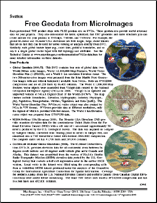
Free Geodata from MicroImages
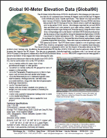
Global 90-Meter Elevation Data (Global90)
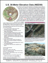
U.S. 30-Meter Elevation Data (NED30)
Canada 90-Meter Elevation Data (CDED90)
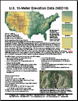
U.S. 10-Meter Elevation Data (NED10)
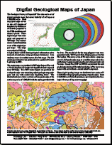
Digital Geological Maps of Japan (2-sided)
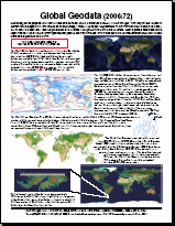
Global Geodata (2006:72)
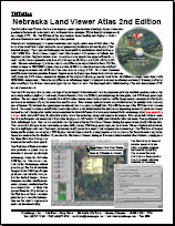
Nebraska Land Viewer Atlas 2nd Edition
Geodata
Introduction to: Working with Massive Geodata Objects
Datasets
1-meter Stereo of Anywhere in the USA
Datasets
10-meter Stereo of anywhere in the World
Datasets
Interpret Features for any Global Area
Datasets
Add Microsofts Bing Maps to View
Datasets
ASTER Global Elevation Data
Datasets
Seamless Digital Geological Map of Japan
Datasets
Canada 20-Meter Elevation Data (CDED20)
Datasets
Free Geodata from MicroImages
Datasets
Global 90-Meter Elevation Data (Global90)
Datasets
U.S. 30-Meter Elevation Data (NED30)
Datasets
Canada 90-Meter Elevation Data (CDED90)
Datasets
U.S. 10-Meter Elevation Data (NED10)
Datasets
Digital Geological Maps of Japan (2-sided)
Datasets
Global Geodata (2006:72)
Datasets
Nebraska Land Viewer Atlas 2nd Edition