Direct Use of Geodata Files
Technical Guides & other documentation
See also:
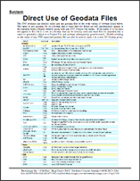
Geodata Format Summary Table
and
Geodata Formats overview
Direct Use of Geodata Files
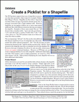
Create a Pick List for a Shapefile
(2 pp)
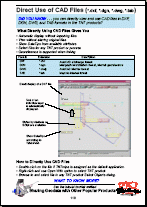
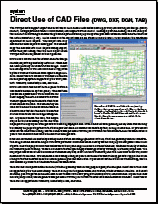
Direct Use of CAD Files (*.dxf, *.dgn, *.dwg, *.tab)
Direct Use of CAD Files (DWG, DXF, DGN, TAB)
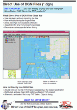
Direct Use of DGN Files (*.dgn)
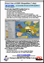
Direct Use of ESRI Shapefiles (*.shp)
Direct Use of Geodata Files
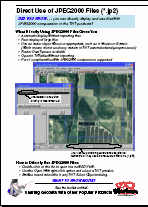
Direct Use of JPEG2000 Files (*.jp2)
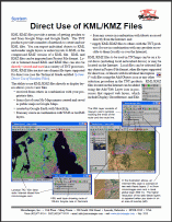
Direct Use of KML/KMZ Files
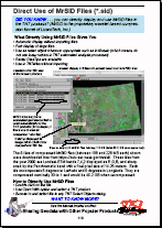
Direct Use of MrSID Files (*.sid)
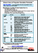
Direct Use of Popular Geodata Formats
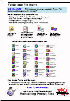
Folder and File Icons
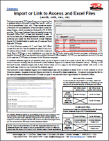
Import or Link to Access and Excel Files
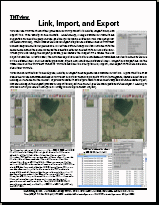
Link, Import, and Export
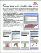
Preview Local and Internet Geodata Layers
(2 pp)
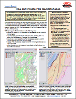
Use and Create File Geodatabases
(2 pp)
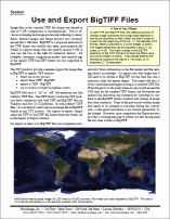
Use and Export BigTIFF Files
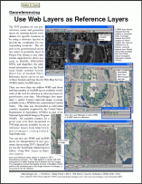
Use Web Layers as Reference Layers
Create a Pick List for a Shapefile
Direct Use of CAD Files (*.dxf, *.dgn, *.dwg, *.tab)
Direct Use of CAD Files (DWG, DXF, DGN, TAB)
Direct Use of DGN Files (*.dgn)
Direct Use of ESRI Shapefiles (*.shp)
Direct Use of Geodata Files
Direct Use of JPEG2000 Files (*.jp2)
Direct Use of KML/KMZ Files
Direct Use of MrSID Files (*.sid)
Direct Use of Popular Geodata Formats
Folder and File Icons
Import or Link to Access and Excel Files
Link, Import, and Export
Preview Local and Internet Geodata Layers
Use and Create File Geodatabases
Use and Export BigTIFF Files
Use Web Layers as Reference Layers