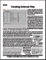
Export
Technical Guides & other documentation
See also:
Geodata Format Summary Table
and
Geodata Formats overview
Export
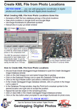
Create KML File from Photo Locations
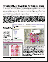
Create KML or KMZ Files for Google Maps
Creating External Files
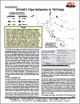
EPANET Pipe Networks in TNTmips
(2 pp)
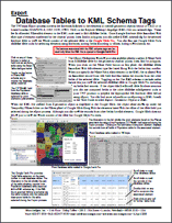
Export Database Tables to KML Schema Tags
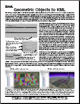
Export Geometric Objects to KML
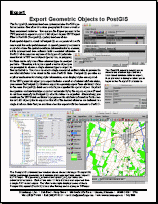
Export Geometric Objects to PostGIS
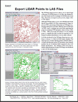
Export LIDAR Points to LAS Files
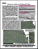
Export to Uniform JP2/GeoJP2 Tiles
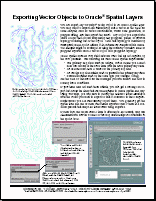
Exporting Vector Objects to Oracle Spatial Layers
(2 pp)
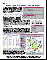
Geometric Objects to MySQL Spatial
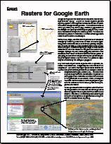
Rasters for Google Earth
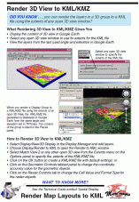
Render 3D View to KML/KMZ
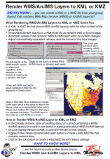
Render WMS/ArcIMS Layers to KML or KMZ
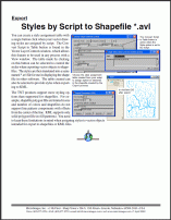
Styles by Script to Shapefile *.avl
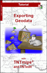
Tutorial: Exporting Geodata
(24 pp)
Tutorial: Sharing Geodata with Other Popular Products
(24 pp)
Use and Create File Geodatabases
(2 pp)
Use and Export BigTIFF Files
Create KML File from Photo Locations
Create KML or KMZ Files for Google Maps
Creating External Files
EPANET Pipe Networks in TNTmips
Export Database Tables to KML Schema Tags
Export Geometric Objects to KML
Export Geometric Objects to PostGIS
Export LIDAR Points to LAS Files
Export to Uniform JP2/GeoJP2 Tiles
Exporting Vector Objects to Oracle Spatial Layers
Geometric Objects to MySQL Spatial
Rasters for Google Earth
Render 3D View to KML/KMZ
Render WMS/ArcIMS Layers to KML or KMZ
Styles by Script to Shapefile *.avl
Tutorial: Exporting Geodata
Tutorial: Sharing Geodata with Other Popular Products
Use and Create File Geodatabases
Use and Export BigTIFF Files