Import
Technical Guides & other documentation
See also:
Geodata Format Summary Table
and
Geodata Formats overview
Import
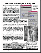
Automate Batch Imports using SML
(2 pp)
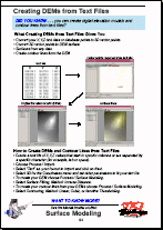
Create DEMs from Text Files
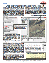
Crop and/or Sample Images During Import
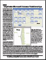
Duplicate Microsoft Access Relationships
EPANET Pipe Networks in TNTmips
(2 pp)
Import Database Tables from KML Schema Tags
Import Geospatial Objects from Google KML
Import or Link to Access and Excel Files
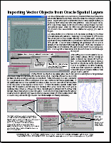
Importing Vector Objects from Oracle Spatial Layers
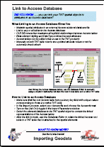
Link to Access Database
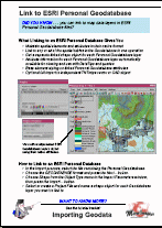
Link to ESRI Personal Database
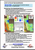
Link to Excel Spreadsheets
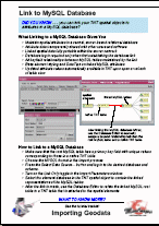
Link to MySQL Database
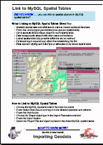
Link to MySQL Spatial Tables
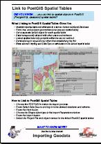
Link to PostGIS Spatial Tables
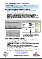
Link to PostgreSQL Database
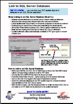
Link to SQL Server Database
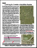
Linking to Create a Multifile Raster
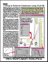
Linking to External Databases Using OLE DB
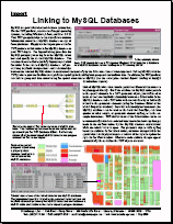
Linking to MySQL Databases
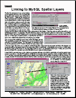
Linking to MySQL Spatial Layers
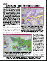
Linking to Personal Databases
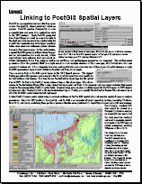
Linking to PostGIS Spatial Layers
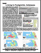
Linking to PostgreSQL Databases
Linking to SQL Server Databases
Oracle Spatial Import Options
Selecting File First
Selecting Format First
Tutorial: Importing Geodata
(24 pp)
Tutorial: Operating with a GPS Unit
(16 pp)
Tutorial: Sharing Geodata with Other Popular Products
(24 pp)
Use and Create File Geodatabases
(2 pp)
Using Inspect File for Raster Import
Using the Multifile Raster Object
Automate Batch Imports using SML
Create DEMs from Text Files
Crop and/or Sample Images During Import
Duplicate Microsoft Access Relationships
EPANET Pipe Networks in TNTmips
Import Database Tables from KML Schema Tags
Import Geospatial Objects from Google KML
Import or Link to Access and Excel Files
Importing Vector Objects from Oracle Spatial Layers
Link to Access Database
Link to ESRI Personal Database
Link to Excel Spreadsheets
Link to MySQL Database
Link to MySQL Spatial Tables
Link to PostGIS Spatial Tables
Link to PostgreSQL Database
Link to SQL Server Database
Linking to Create a Multifile Raster
Linking to External Databases Using OLE DB
Linking to MySQL Databases
Linking to MySQL Spatial Layers
Linking to Personal Databases
Linking to PostGIS Spatial Layers
Linking to PostgreSQL Databases
Linking to SQL Server Databases
Oracle Spatial Import Options
Selecting File First
Selecting Format First
Tutorial: Importing Geodata
Tutorial: Operating with a GPS Unit
Tutorial: Sharing Geodata with Other Popular Products
Use and Create File Geodatabases
Using Inspect File for Raster Import
Using the Multifile Raster Object