Map Design - Layouts & Groups
Technical Guides & other documentation
Map Design - Layouts & Groups
Add Multiple Groups to a Layout
Adding Compass Graphics to Layouts
Alignment Control for Legend Tool / Text Labels fo
Applications: Making Image Maps
(20 pp)
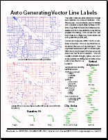
Auto Generating Vector Line Labels
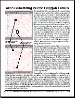
Auto Generating Vector Polygon Labels
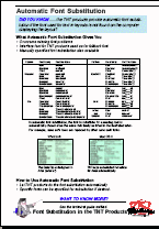
Automatic Font Substitution
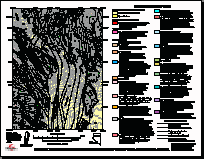
Bedrock Geologic Map of Northern Midway Valley
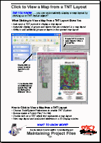
Click to View a Map from a TNT Layout
Clipping Groups Using Regions
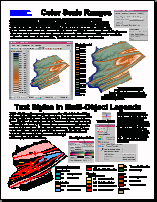
Color Scale Ranges / Text Styles in Multi-Object L
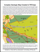
Complex Geologic Map Created in TNTmips
(2 pp)
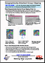
Geographically Attached Group Clipping
Geologic Map of the Granite Gulch Study Area
Global Data Set with Scale-Controlled Labels
Group Settings for Standalone Groups
(2 pp)
Interactive Map Design
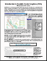
Introduction to Scalable Vector Graphics (SVG)
Introduction to: Designing Electronic Atlases
(32 pp)
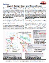
Layout Design Scale and Group Scales
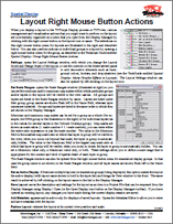
Layout Right Mouse Button Actions
(2 pp)
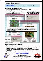
Layout Templates
Layout Templates
(2 pp)
Layouts Converted to SVG and PDF
Manually Specified Font Substitution
Map Grid Label Formats
(2 pp)
Map Grid Label Placement and Orientation
Map Grids
(2 pp)
Matte Graphic Effects in Layouts
Multi-Object Legends for Map Layouts
(3 pp)
Mutually Exclusive Groups
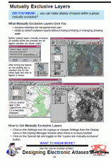
Mutually Exclusive Layers
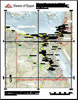
Oases of Egypt (sample map layout)
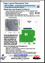
Page Layout Placement Tool
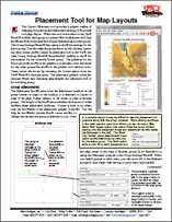
Placement Tool for Map Layouts
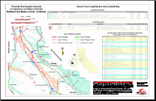
Potential Earthquake Hazards
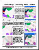
Publish Maps Containing Hatch Patterns
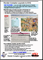
Render Complex Layouts to SVG
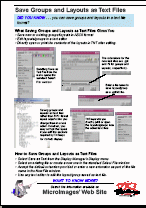
Save Groups and Layouts as Text Files
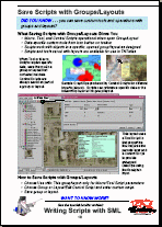
Save Scripts with Groups/Layouts
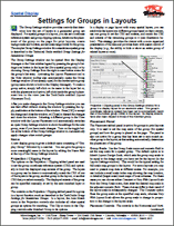
Settings for Groups in Layouts
(2 pp)
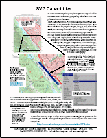
SVG Capabilities
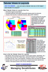
Tabular Views in Layouts
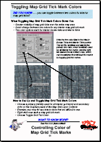
Toggle Map Grid Tick Mark Colors
Tutorial: Constructing an Electronic Atlas
(40 pp)
Tutorial: Making Map Layouts
(48 pp)
Tutorial: Printing
(24 pp)
Add Multiple Groups to a Layout
Adding Compass Graphics to Layouts
Alignment Control for Legend Tool / Text Labels fo
Applications: Making Image Maps
Auto Generating Vector Line Labels
Auto Generating Vector Polygon Labels
Automatic Font Substitution
Bedrock Geologic Map of Northern Midway Valley
Click to View a Map from a TNT Layout
Clipping Groups Using Regions
Color Scale Ranges / Text Styles in Multi-Object L
Complex Geologic Map Created in TNTmips
Geographically Attached Group Clipping
Geologic Map of the Granite Gulch Study Area
Global Data Set with Scale-Controlled Labels
Group Settings for Standalone Groups
Interactive Map Design
Introduction to Scalable Vector Graphics (SVG)
Introduction to: Designing Electronic Atlases
Layout Design Scale and Group Scales
Layout Right Mouse Button Actions
Layout Templates
Layout Templates
Layouts Converted to SVG and PDF
Manually Specified Font Substitution
Map Grid Label Formats
Map Grid Label Placement and Orientation
Map Grids
Matte Graphic Effects in Layouts
Multi-Object Legends for Map Layouts
Mutually Exclusive Groups
Mutually Exclusive Layers
Oases of Egypt (sample map layout)
Page Layout Placement Tool
Placement Tool for Map Layouts
Potential Earthquake Hazards
Publish Maps Containing Hatch Patterns
Render Complex Layouts to SVG
Save Groups and Layouts as Text Files
Save Scripts with Groups/Layouts
Settings for Groups in Layouts
SVG Capabilities
Tabular Views in Layouts
Toggle Map Grid Tick Mark Colors
Tutorial: Constructing an Electronic Atlas
Tutorial: Making Map Layouts
Tutorial: Printing