Select Input / Output
Technical Guides & other documentation
Select Input / Output
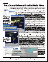
AutoOpen External Spatial Data Files
(2 pp)
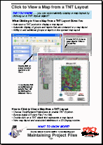
Click to View a Map from a TNT Layout
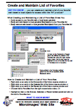
Create and Maintain a List of Favorites
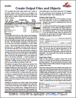
Create Output Files and Objects
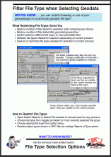
Filter File Type when Selecting Geodata
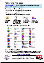
Folder and File Icons
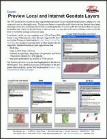
Preview Local and Internet Geodata Layers
(2 pp)
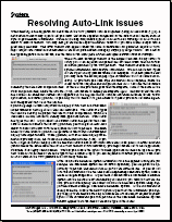
Resolving Auto-Link Issues
Searching Geodata Catalogs
(3 pp)
Select Objects for Use
(4 pp)
Select Tool and Marking Elements
(2 pp)
Using Internet-based Maps and Images
(2 pp)
AutoOpen External Spatial Data Files
Click to View a Map from a TNT Layout
Create and Maintain a List of Favorites
Create Output Files and Objects
Filter File Type when Selecting Geodata
Folder and File Icons
Preview Local and Internet Geodata Layers
Resolving Auto-Link Issues
Searching Geodata Catalogs
Select Objects for Use
Select Tool and Marking Elements
Using Internet-based Maps and Images