Downloads
for TNTgis software and other resources
 TNTgis Installer — geospatial software for image analysis and GIS
![]() Download TNTgis Release Version — current release with all fixes and updates.
Download TNTgis Release Version — current release with all fixes and updates.
![]() Download TNTgis Development Version — new features in development.
Download TNTgis Development Version — new features in development.
- The TNTgis installation includes: TNTmips, TNTedit, TNTview, and TNTatlas software.
- The same file is used to install any TNTmips license level (Pro, Basic, and Free).
More Software
Automate geospatial processing and geoprovisioning using local, network and cloud computing resources
Sample web application using TNTscript
free geodata viewer for viewing multi-layer / multi-level atlases prepared in TNTmips; also used to view a single geodata file in many popular formats — supports massive file sizes
free software development kit for computers equipped with any license level of TNTmips, TNTedit, or TNTview
Scripts
The main scripting page for all types of custom SML features and enhancements.
![]() Mark and Show Elements by Query
Mark and Show Elements by Query
Element selection and display style by attribute.
Computed fields (also called virtual fields) in a database table are used to fill in numeric or text field values.
Dynamic labels for geometric elements (i.e. vector, CAD, shape) can be rendered in the View window based on database attributes associated with the elements.
Style geometric points, lines, and polygons with a simple script or more advanced CartoScript.
Add tools and macros to the toolbar in any View window.
Display control scripts to make DataTips and GraphTips in the View.
Display control scripts that create interactive windows to use with the View.
Combine rasters and vector polygons to create a new geospatial objects or layer.
Select records, assign symbols, specify labels, and format coordinates.
SML scripts can accomplish a wide variety of goals such as automating your work flow, developing your own algorithms, or creating custom interactive applications.
![]() Additional Stand Alone Scripts
Additional Stand Alone Scripts
See the Stand Alone section in the sidebar of the Scripting in TNTmips page.
Sample Data
Convert 2D geodata layers into 3D using one of these DEMs.
Datasets for TNTgis software and tutorials.
for use with the Hyperspectral Analysis process.
![]() Digital Geological Maps of Japan
Digital Geological Maps of Japan
digital geologic maps on 7 CD-ROMs available for purchase from the Geological Survey of Japan.
Utilities
The driver used to run a professional license for any of the TNTgis software is included with the installation. In the unlikely event you have trouble with the key driver, we may suggest you update your key driver (SafeNet).
![]() Supplemental Datum Transformations
Supplemental Datum Transformations
Supplemental grid datum transformations to use in TNTgis software are available in a separate installer. There is no need to install these grid transformations unless you see a message to do so in the TNTgis software.
Use a screen recorder to send us a movie of what is happening on your computer monitor. CamStudio is available for Windows users. After you install CamStudio you can open it directly from the Contact Support form available from the TNTmips main menu (Help > Contact Support) .
Another screen recorder available for Windows users. While it won't open directly from the Contact Support form, you can still send us these movie files via the form. The Wink recorder lets you edit your movie — for example to add comments or reduce the file size.
Utility for 64-bit Windows machines (Vista, 7 and 8) that solves a problem with Windows becoming extremely slow and unresponsive while running certain, generally I/O intensive jobs (i.e. pyramiding very large rasters).
![]() Microsoft Access Database Engine 2010
Microsoft Access Database Engine 2010
To use Microsoft Access and Excel data within TNTmips you need to have Microsoft Office or the Microsoft Access Database Engine installed.
Checks OpenGL configuration to determine if stereo is supported. If so, a rotating wireframe sphere with pyramid and cylinder shapes inside will be displayed. Arrow keys may be used to adjust speed of rotation.
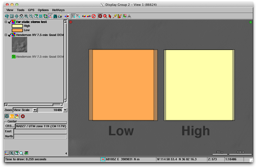
Test image to check the configuration of your passive stereo 3D monitor. View the test image (PNG file) in any graphic software program using your polarized glasses. You should see two colored boxes with the box on the right appearing to be closer to you than the one on the left.
Test image to check the configuration of your interlaced stereo 3D monitor. View the test image (PNG file) in any graphic software program using your polarized glasses. You should see two colored boxes with the box on the right appearing to be closer to you than the one on the left.
![]() XWDTIFF for Windows.
XWDTIFF for Windows.
Capture window images in MI/X to TIFF.